Sunday, 5th April 2026

Khabor Wala Desk
Published: 4th December 2025, 11:52 AM
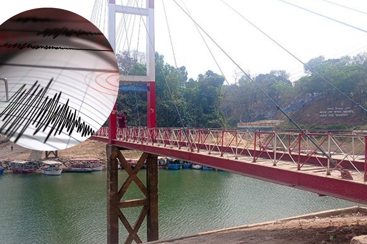
Rangamati, a hilly district in Bangladesh, is considered highly vulnerable to a major earthquake. Historical records indicate that no significant earthquake has occurred in the region over the past five hundred to one thousand years, suggesting the possibility of a major earthquake in the future. Such an event could result in substantial casualties and extensive damage.
The district is entirely surrounded by hills, with very little flat land. Government, private institutions, and local residents have constructed buildings at the foothills by leveling parts of the hills.
According to various sources, there are over 20,000 buildings in Rangamati, including government, private, and public structures. Most of these buildings were not constructed according to building codes, placing residents and structures at extreme risk in the event of a major earthquake.
Meteorological Department maps and experts classify parts of Rangamati and Khagrachhari districts as the most earthquake-prone zones in the country, falling under Zone-1. The area is close to the Dauki Fault Line, which could trigger a major earthquake.
On 6 August 2003, Rangamati’s Barkal Upazila near the Mizoram border in India experienced the largest earthquake in the area in recent history. Two tremors occurred, the first at 6:30 am and the second at 11:20 am. The moderate earthquake registered 5.6 on the Richter scale and lasted about four seconds, causing damage to several government, private, and school buildings, though there were no casualties.
In January 2008, Barkal experienced 18 tremors between 13 and 30 January. Several smaller tremors were felt in neighbouring Chattogram and other hill districts, but all 18 tremors occurred in Barkal.
Bangladesh is divided into three earthquake zones, with the hill districts classified as Zone-1. Repeated earthquakes have caused cracks in many government buildings in Barkal, especially in structures on high hills. Annual tremors continued between 2009 and 2016, with 24 in 2009 and 21 in 2010. Small to moderate tremors were felt in the following years as well.
Geologists note that the 13 January 2008 moderate earthquake in Barkal lasted about 25–30 seconds and occurred three times in quick succession. The epicentre was near the Bangladesh-India border, making the tremors in Barkal particularly intense, registering 4.9 on the Richter scale.
On 26 November 2021 at 5:45 am, an earthquake was felt in Rangamati along with other parts of the country, lasting a few seconds and measuring 6.2 on the Richter scale. The epicentre was near Mizoram, India, close to the Myanmar border. The quake caused cracks in the Purunbosti-Jhuluikya connecting bridge, a nearby mosque, and injured three people, including two UNDP workers and a local resident.
In 2024, Rangamati felt tremors from the Mayawadi earthquake in Myanmar on 2 June, measuring 5.0 on the Richter scale. Earlier, on 29 May, another quake was felt in Dhaka, Rangamati, and other regions at 5.4 magnitude. On 31 July, a quake registering 4.7 was felt, originating in China’s Chin Province, near Myanmar. On 1 December, tremors affected Rangamati, Cox’s Bazar, and Chattogram, measuring 4.9, according to the European-Mediterranean Seismological Centre (EMSC), with the epicentre in Myanmar.
Anwar Al Haque, president of the Rangamati Press Club, said that buildings must be constructed according to building codes to reduce earthquake risk, and widespread awareness campaigns are necessary.
Subarna Chakma, urban planner of Rangamati Municipality, noted that in 2008, the Rangamati Sadar Hospital and Fire Service building were identified as high-risk structures, but no follow-up meetings occurred. Under new regulations, a 15-member committee led by the municipal mayor or administrator must approve building constructions, with a maximum permitted height of 70–75 feet for six-storey buildings. Taller structures require district administration approval, though none currently exist in Rangamati.
Md. Mobarak Hossain, Deputy Director of Local Government and Administrator of Rangamati Municipality, said awareness campaigns and guidance on earthquake safety are being conducted by the district administration and municipality.
Dr. Badrul Imam, Dean of Earth and Environmental Sciences at Dhaka University and president of the Bangladesh Geological Society, stated that no scientific method exists to predict earthquakes. Any location can experience an earthquake at any time. He added that the hilly districts are at high risk, and small tremors could indicate potential larger quakes. While earthquakes cannot be prevented, damage can be minimised with proper planning.
Notably, on 21 November 2024 at 10:38 am, a 5.7 magnitude earthquake struck, affecting Dhaka and other regions, causing cracks in several buildings and resulting in 10 fatalities. Minor tremors were also felt on 22, 23, 26 November, and 4 December across the country.
Khaborwala/SS
Comments