Monday, 6th July 2026

Khabor Wala Desk
Published: 1st December 2025, 10:11 PM
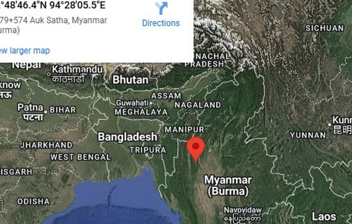
A 4.9-magnitude earthquake struck north-western Myanmar on Monday, approximately 81 kilometres east of the town of Falam. According to the United States Geological Survey (USGS), the quake occurred at 12:55 a.m. local time, with its epicentre at a depth of 106.8 kilometres. The Bangladesh Meteorological Department corroborated these figures, noting that the epicentre was 431 kilometres from the capital, Dhaka.
Myanmar is highly susceptible to seismic activity due to its location between two major tectonic plates: the Indian Plate and the Eurasian Plate. The boundary between these plates, known as the “Sagaing Fault,” extends roughly 1,200 kilometres from north to south, passing near major cities such as Mandalay and Yangon. Experts warn that the fault places millions of residents at potential risk.
Earlier this year, on 28 March, Myanmar experienced a far more severe earthquake measuring 7.7 on the Richter scale. The tremors were felt across neighbouring Thailand, Bangladesh, India, Cambodia, and even as far as China, causing widespread concern in the region. Seismologists have stated that such a strong earthquake in Myanmar is unprecedented in the last two decades.
While Monday’s 4.9-magnitude quake is classified as moderate and unlikely to cause major structural damage, it serves as a reminder of the country’s vulnerability to seismic events. Authorities have urged residents in earthquake-prone areas to remain vigilant, prepare emergency supplies, and ensure buildings are constructed in accordance with seismic safety codes. The recent pattern of tremors highlights the need for ongoing monitoring and disaster preparedness in Myanmar.


Comments