Thursday, 21st May 2026

Khabor Wala Desk
Published: 29th March 2026, 10:30 AM
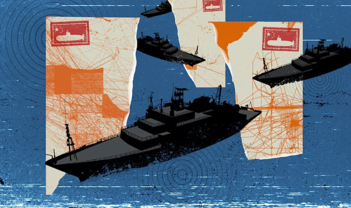
China is reportedly conducting an extensive and systematic undersea mapping and surveillance programme across the Pacific, Indian, and Arctic Oceans, raising strategic concerns among defence analysts in the United States and allied nations. According to multiple maritime tracking datasets and investigative assessments, the initiative is aimed at building highly detailed seabed maps and a dense underwater sensor network that could significantly enhance submarine warfare capabilities.
Naval experts emphasise that detailed knowledge of seabed topography is fundamental to modern undersea operations. Without precise mapping of underwater mountains, trenches, and currents, effective submarine navigation and stealth operations become extremely difficult.
Analysis of vessel tracking data shows that China’s research fleet, particularly the Dong Fang Hong-3 operated by Ocean University of China, has repeatedly operated near strategically sensitive maritime zones in 2024 and 2025. These include waters close to Taiwan, the US naval hub of Guam, and key areas of the Indian Ocean. The vessel has also been observed conducting irregular survey routes near the maritime corridor between Sri Lanka and Indonesia, an entry point to the Malacca Strait, one of the world’s most critical shipping lanes.
| Area of Activity | Strategic Importance | Observed Activity Pattern |
|---|---|---|
| Taiwan waters | High military tension zone | Repeated survey passes |
| Guam region | Major US naval base | Deep-sea mapping operations |
| Malacca Strait approaches | Global shipping chokepoint | Zigzag seabed scanning routes |
| Indian Ocean corridor | Energy supply route | Sensor deployment missions |
| Wake Island vicinity | US military outpost | Maritime surveillance sweeps |
Defence analysts note that repeated parallel sailing patterns in confined regions typically indicate high-resolution seabed mapping operations designed to build three-dimensional hydrographic models.
The Ocean University of China maintains that its vessels are engaged in climate research and seabed sediment sampling. However, scientific publications linked to the institution suggest that high-precision mapping of deep-sea terrain has also been conducted as part of broader research activities.
Western naval experts and former military officials argue that the scale and geographic distribution of these operations point to a dual-use programme with significant military implications. According to them, seabed intelligence can enable Chinese submarines to operate more quietly, avoid detection, and track adversary vessels more effectively.
The Dong Fang Hong-3 is reportedly only one element of a much larger system involving dozens of research vessels and hundreds of underwater sensors. Investigative analysis of five years of ship tracking data indicates that at least eight vessels have been directly involved in seabed mapping, while a further ten are equipped with advanced hydrographic survey systems.
Former Australian submarine commander Peter Scott stated that such datasets are invaluable in underwater warfare planning, as submarine commanders rely heavily on precise environmental and terrain knowledge to avoid detection and navigate safely.
The geographic focus of China’s maritime surveys appears to concentrate on areas of high strategic importance, including waters surrounding the First Island Chain—stretching from Japan through Taiwan and the Philippines to Borneo—as well as regions near Guam, Hawaii, and Wake Island. Some activity has also been recorded near Papua New Guinea and Australia’s Christmas Island.
Experts such as Jennifer Parker, a former Australian anti-submarine warfare officer, argue that the breadth of the programme goes beyond resource exploration. In her assessment, the initiative reflects China’s ambition to develop a globally capable blue-water navy with submarine operations as its core strength.
This view aligns with China’s broader doctrine of civil–military fusion, under which scientific research is integrated with defence applications. Analysts note that even data collected for environmental purposes can ultimately be repurposed for military advantage.
According to US naval intelligence officials, including Rear Admiral Mike Brooks, China’s expanding seabed mapping efforts could significantly enhance its ability to deploy submarines covertly, install underwater sensors, and monitor adversary movements. Brooks described the activity as a growing strategic concern for the United States.
Meanwhile, Washington has also increased its own investment in seabed mapping, primarily through military vessels capable of operating with limited tracking signals. However, analysts caution that China’s use of ostensibly civilian research ships may provide greater operational flexibility and ambiguity.
Naval experts suggest that China’s activities represent a significant shift in undersea power dynamics. Ryan Martenson of the US Naval War College noted that the scale of China’s programme challenges long-standing assumptions about American dominance in underwater domain awareness.
Former US submarine commander Tom Shugart also described the initiative as evidence of China’s emergence as a major maritime power with growing confidence in undersea warfare capabilities.
Overall, the expanding network of seabed mapping and sensor deployment signals a long-term strategic effort to reshape undersea military balance in the Indo-Pacific and beyond.


Comments