The centre warned that dangerous tsunami waves could affect coastal areas within 300 kilometres of the earthquake’s epicentre. The alert raised concerns about the potential impact on nearby islands and coastal communities, although no casualties or damage had been reported at the time of the initial assessment.
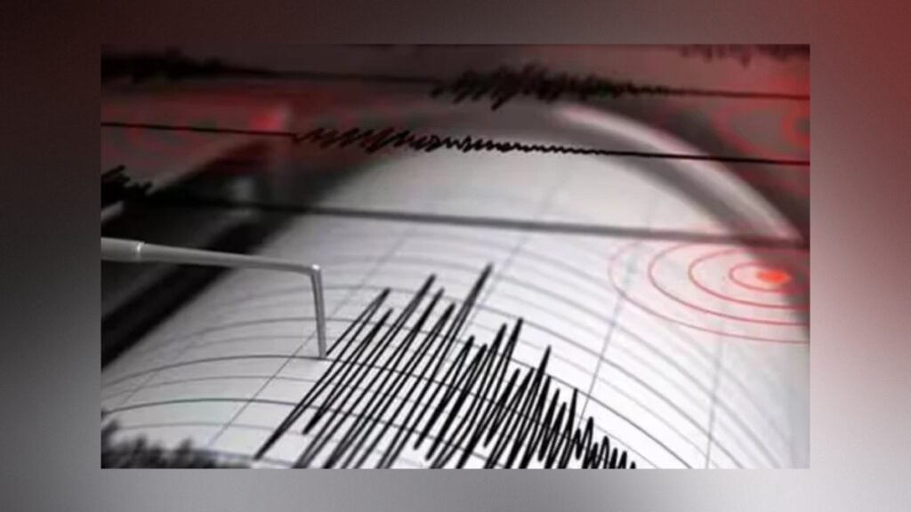
According to the United States Geological Survey (USGS), the earthquake struck at 02:31 Coordinated Universal Time (UTC) on Saturday. Its epicentre was located approximately 200 kilometres west of Sola, a town in Vanuatu, at a depth of around 10 kilometres below the sea surface.
The relatively shallow depth of the earthquake was a factor in assessing the potential tsunami threat. However, the occurrence of a strong earthquake does not automatically mean that a destructive tsunami will follow. The risk depends on several factors, including the nature of the earthquake and the extent to which the seabed is displaced.
The Pacific Tsunami Warning Centre estimated that the first tsunami wave could reach Espiritu Santo, one of Vanuatu’s major islands, at 03:01 UTC. The centre cautioned that the actual arrival time could differ from the initial forecast.
It also stressed that the first wave would not necessarily be the largest. Subsequent waves can be more powerful and potentially more dangerous, meaning that the arrival of an initial wave does not indicate that the threat has passed.
The potential impact of a tsunami varies according to the shape of the coastline, the depth of the water and local tidal conditions. These factors can influence wave height, the speed of water movement and the extent to which seawater travels inland. As a result, the effects can differ considerably between neighbouring coastal areas.
Vanuatu lies in the Pacific region, an area frequently affected by earthquakes because of its position within a zone of significant tectonic activity. Earthquakes beneath or near the ocean can generate tsunamis when they cause substantial vertical displacement of the seabed, pushing large volumes of water out of place.
Tsunami warning systems are designed to assess these risks quickly and alert potentially affected communities. Initial warnings are often issued before the full extent of the threat is known, allowing authorities time to evaluate the situation and communicate possible dangers.
Meanwhile, the USGS said the earthquake’s magnitude had initially been calculated using an automated system. Such preliminary measurements can be revised as additional seismic data become available and further analysis is carried out. Details concerning the earthquake’s magnitude, location and other characteristics may therefore change.
At the time of the initial reports, there were no confirmed reports of casualties or damage resulting from the earthquake. The extent of any potential tsunami impact remained uncertain, with the warning centre’s assessments serving as an important guide to the possible risks facing coastal areas near Vanuatu.